Ionian Sea, GR
Aggeliki Stakia, Ioanna Trikogia
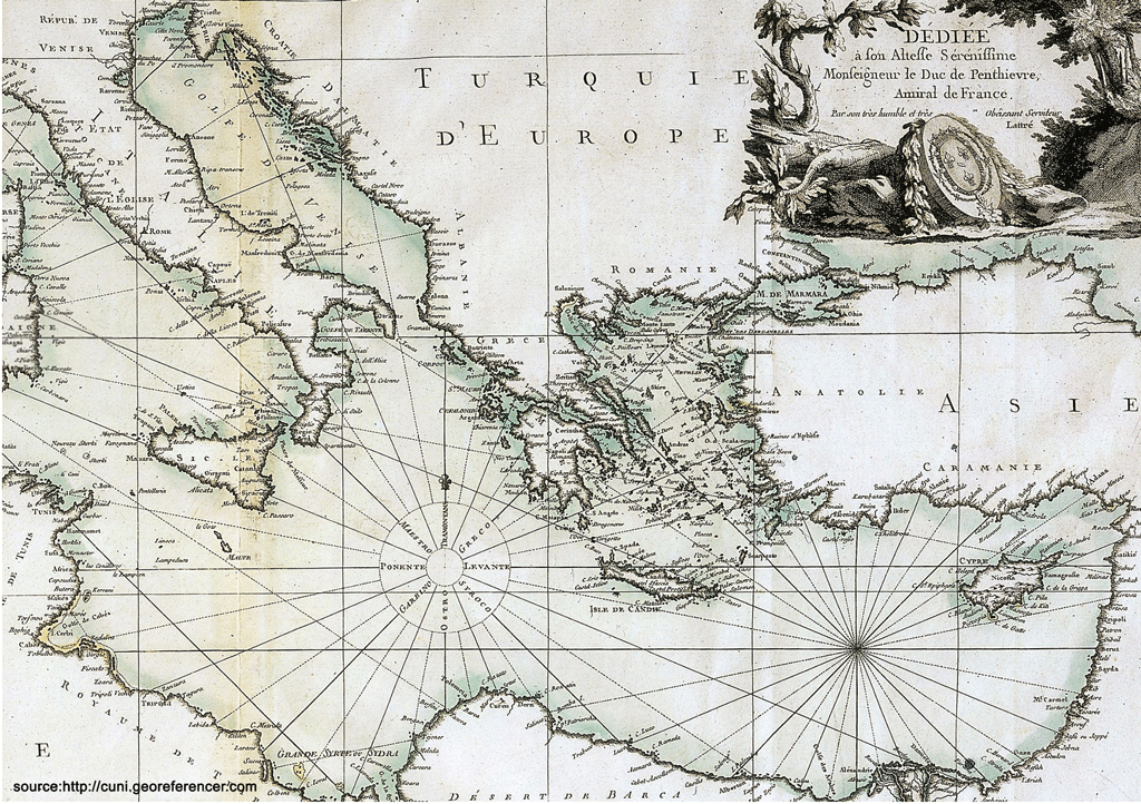
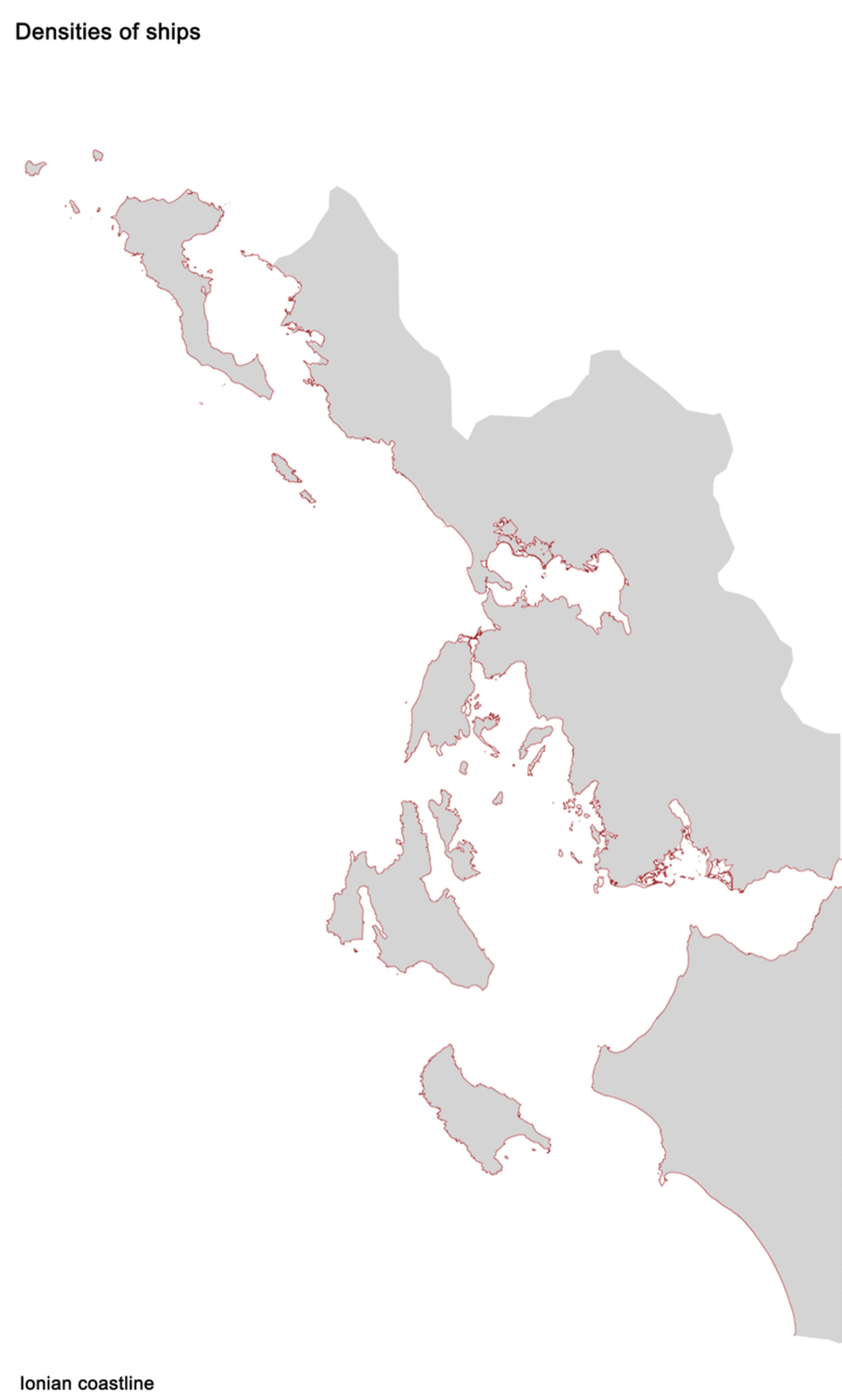
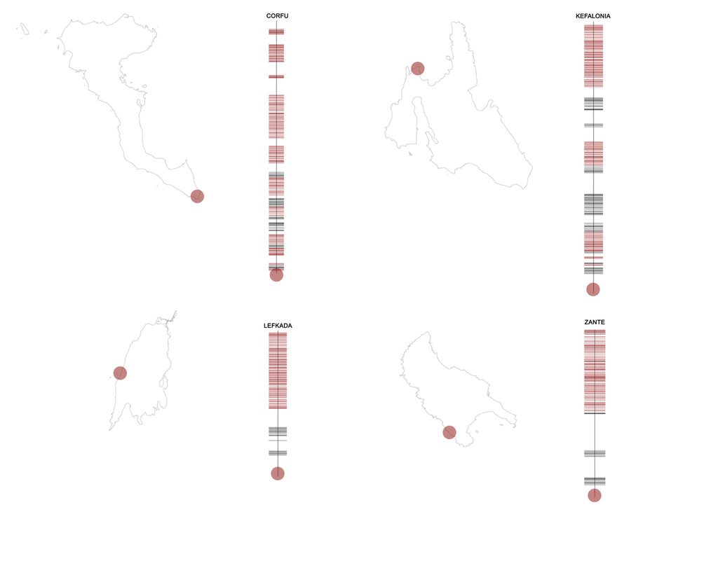
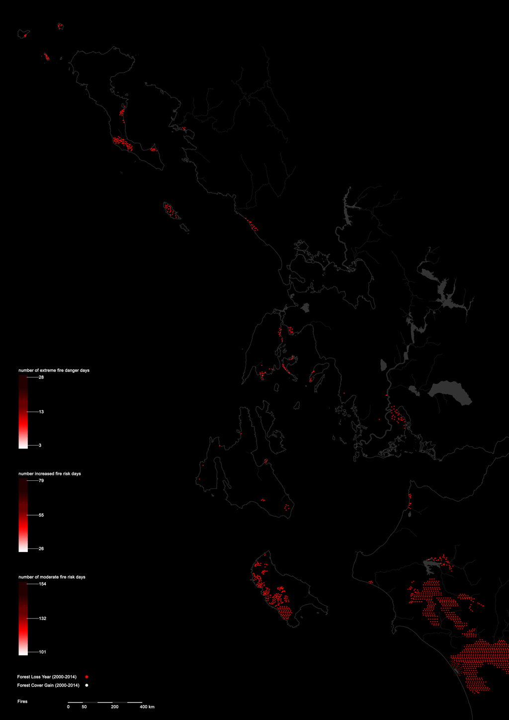
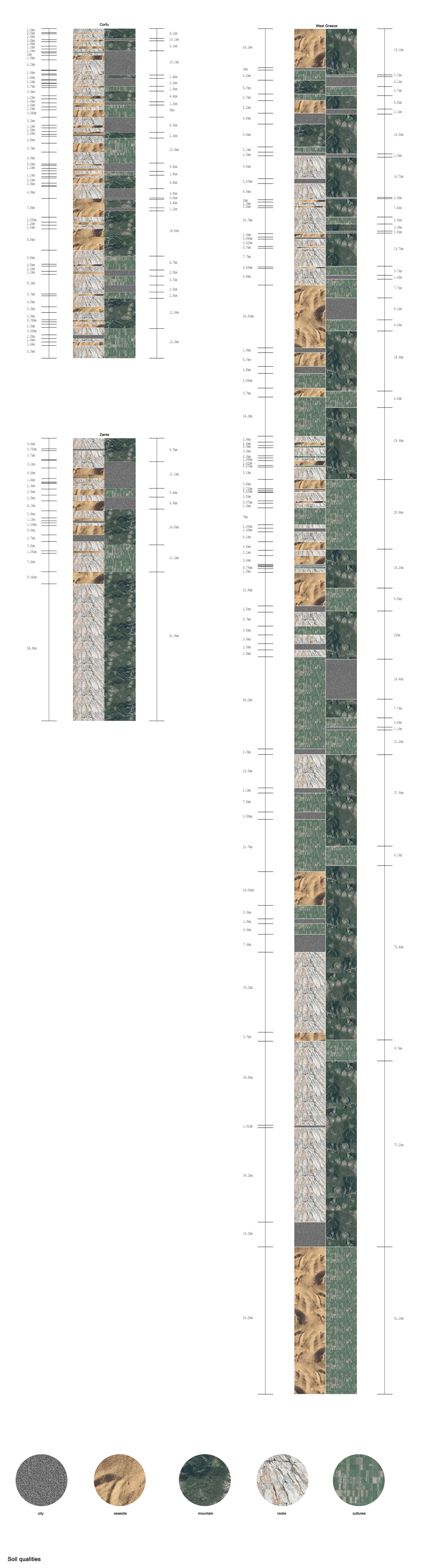
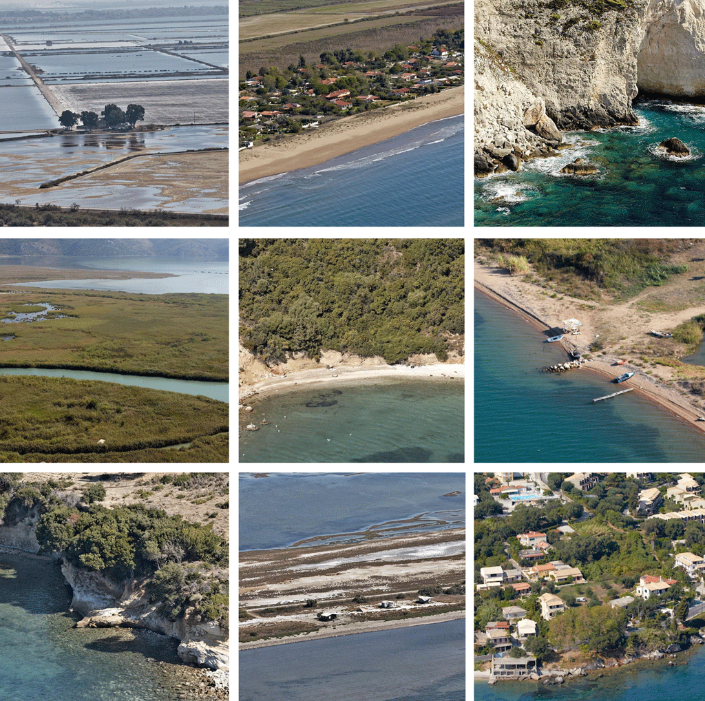
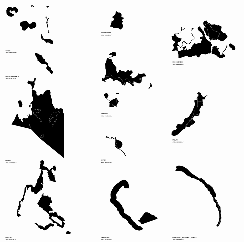
The Ionian Sea constitutes the western coast of Greece, south of the Adriatic Sea Sicily and Italy. With a total coastline length of 867.932 km, it includes the Ionian Islands of Corfu, Paxos, Lefkas, Ithaca, Cephalonia, Zante and Kythera.
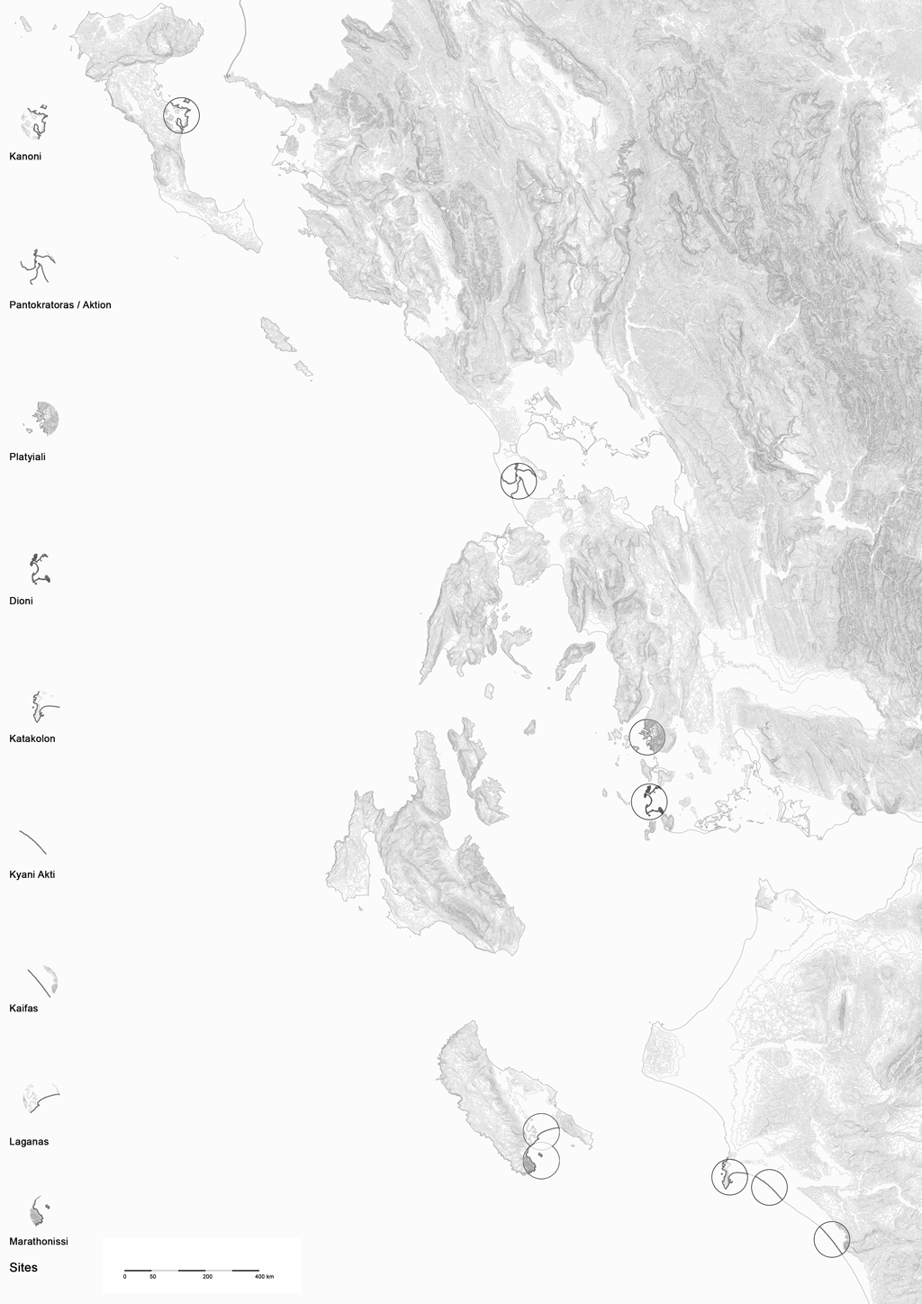
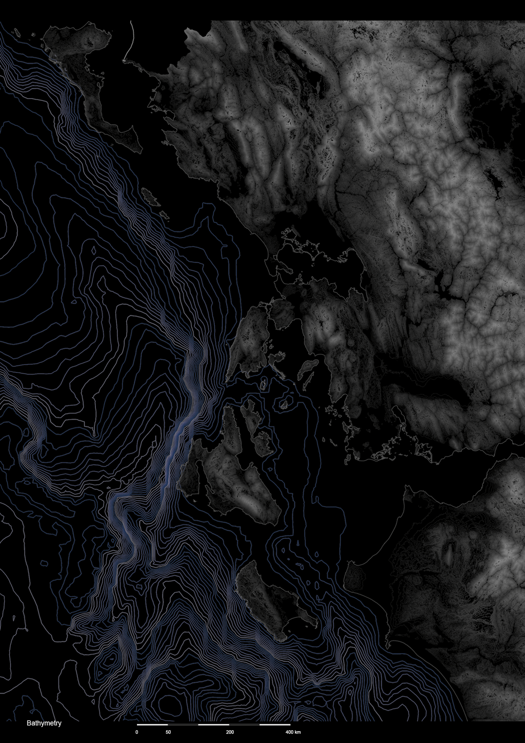
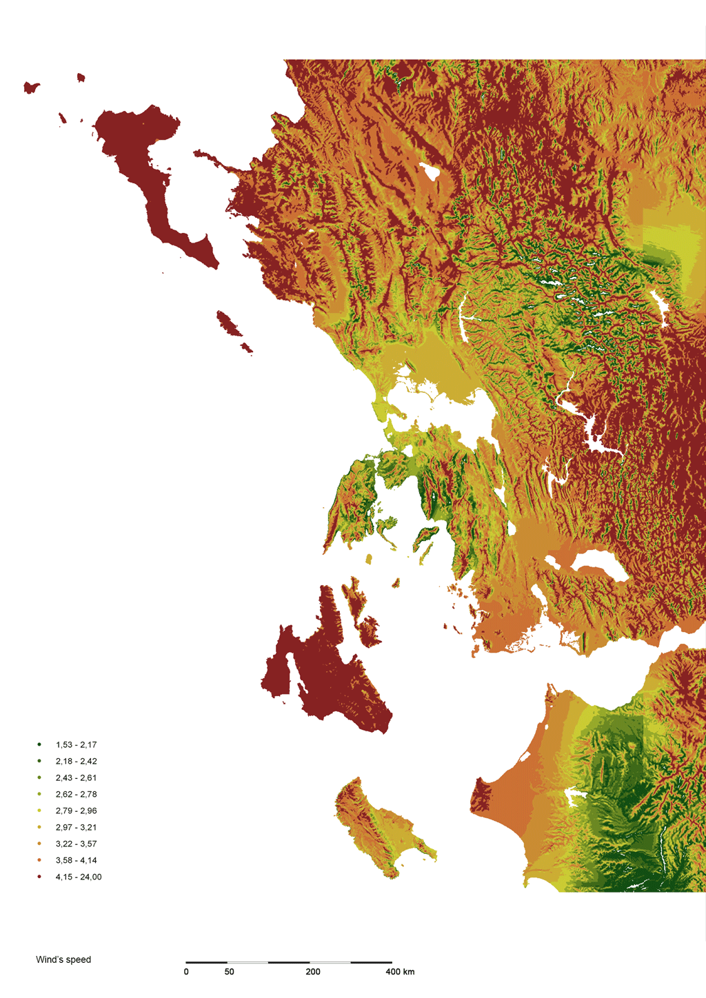
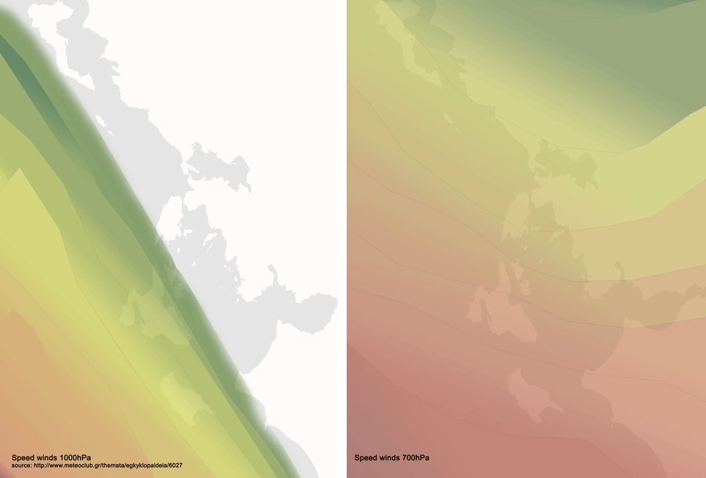
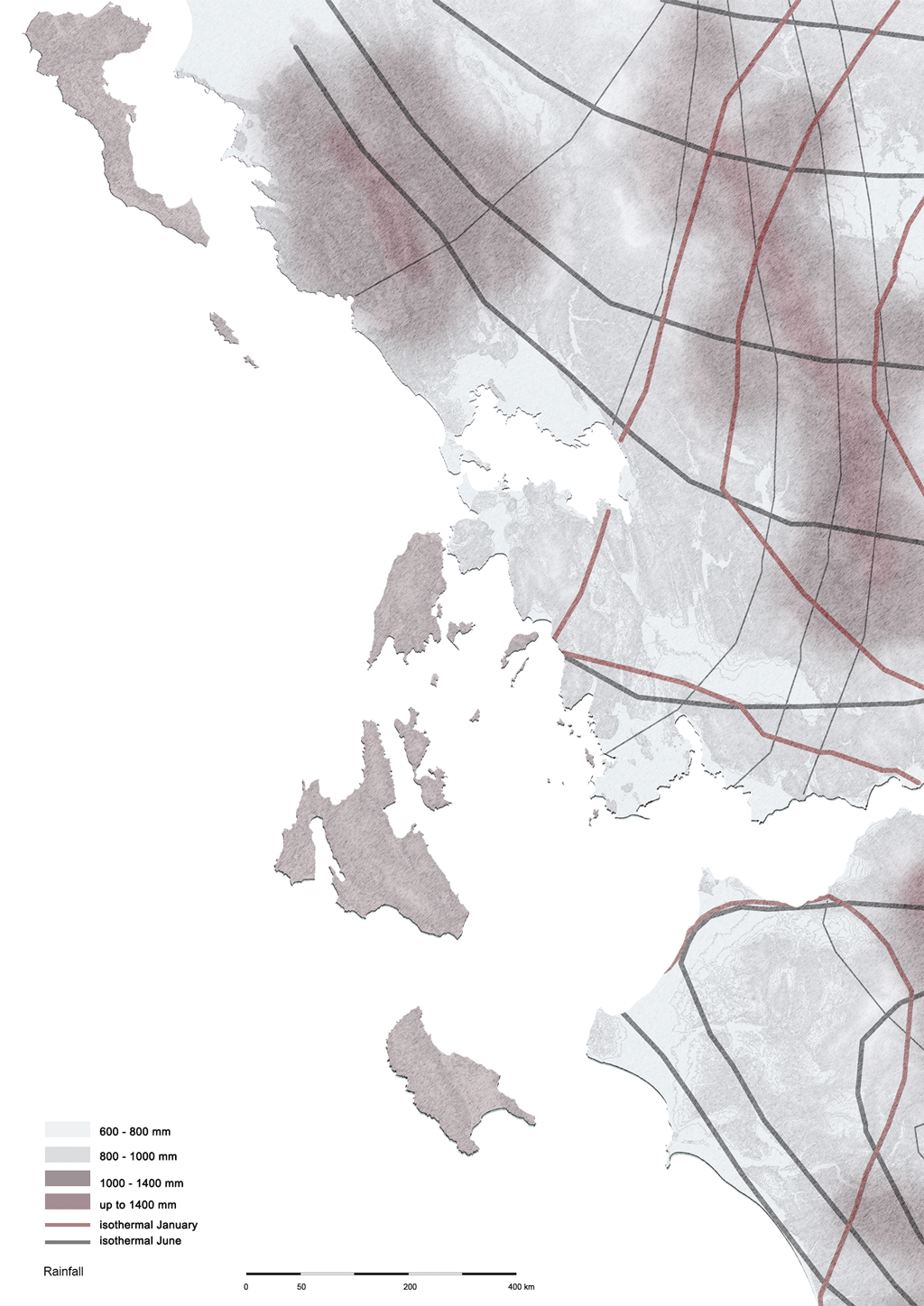
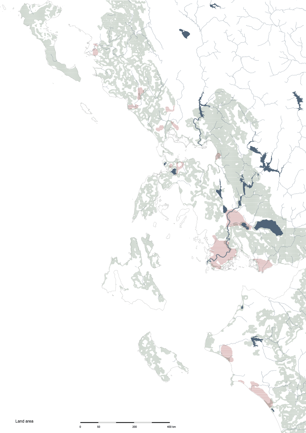
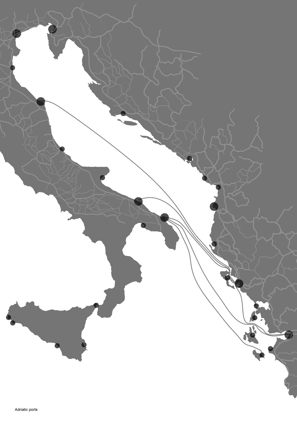
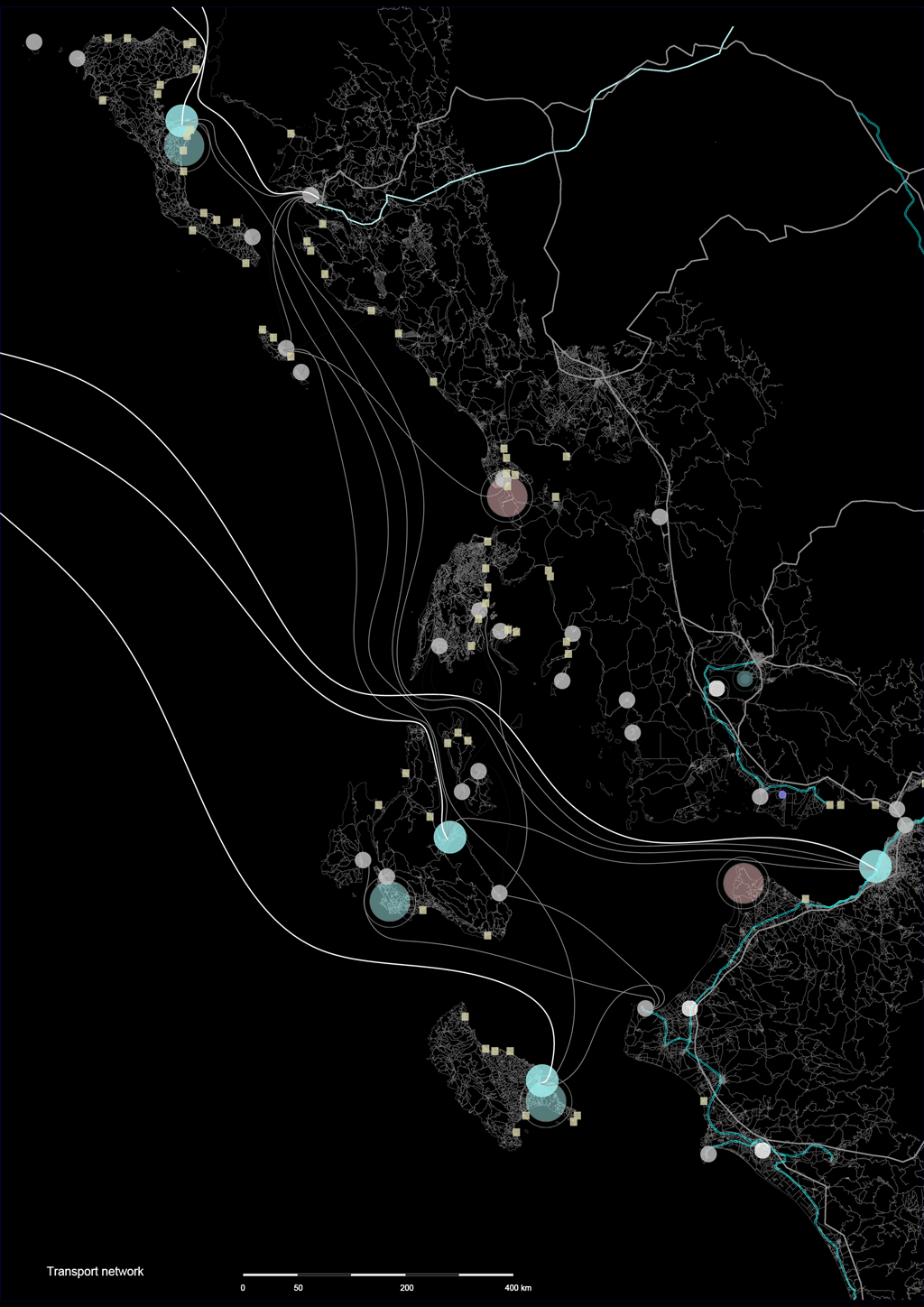
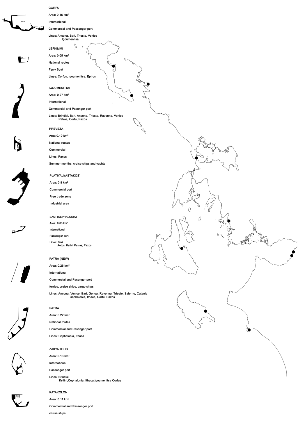
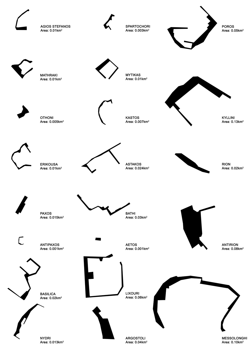
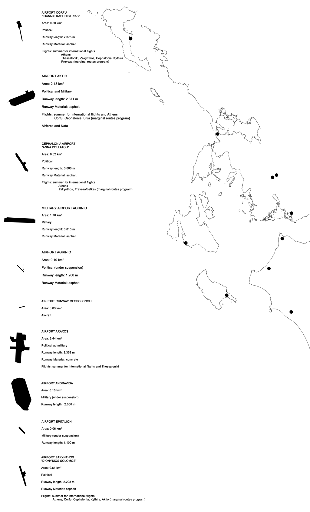
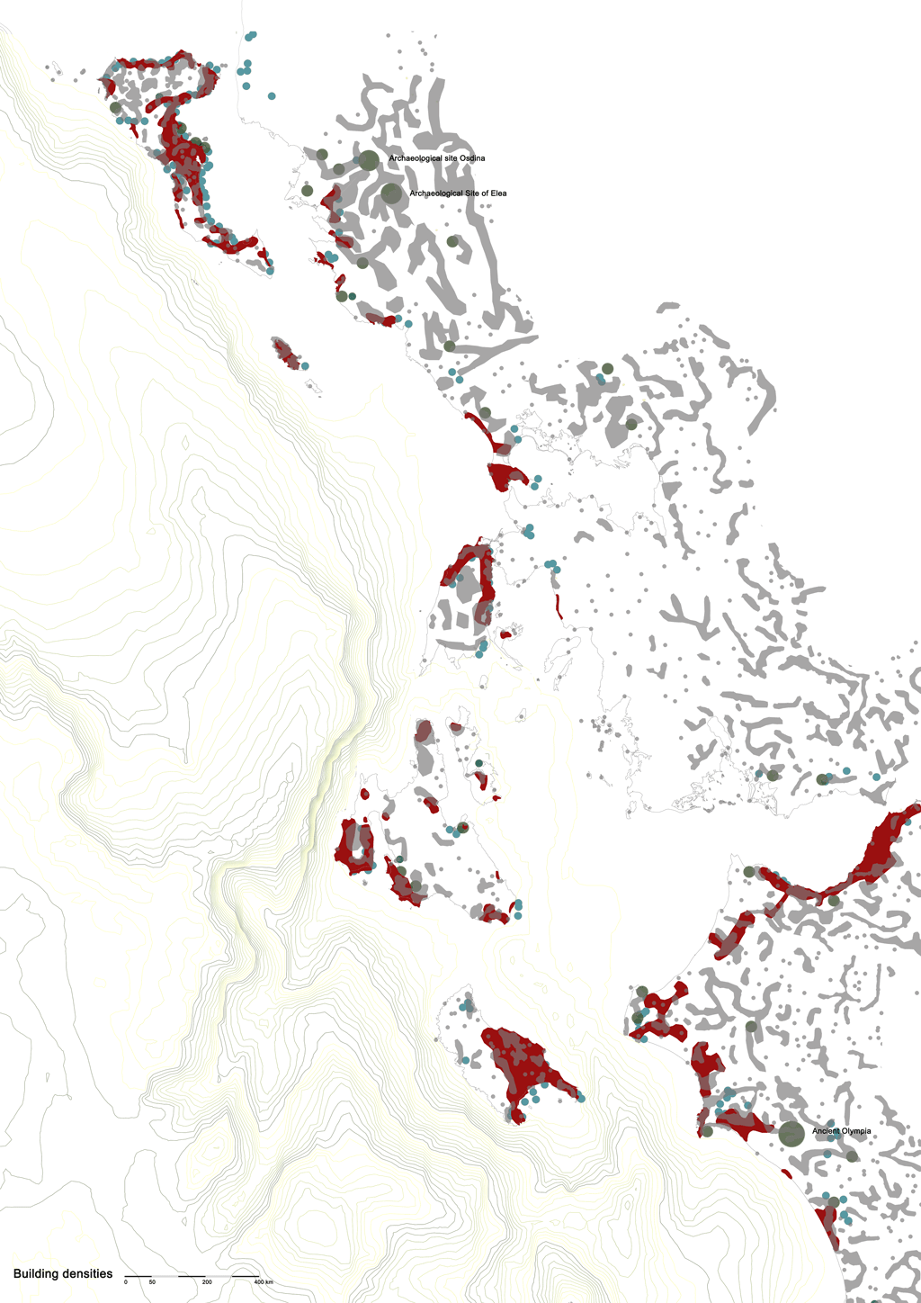
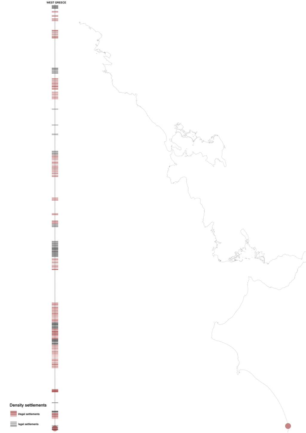
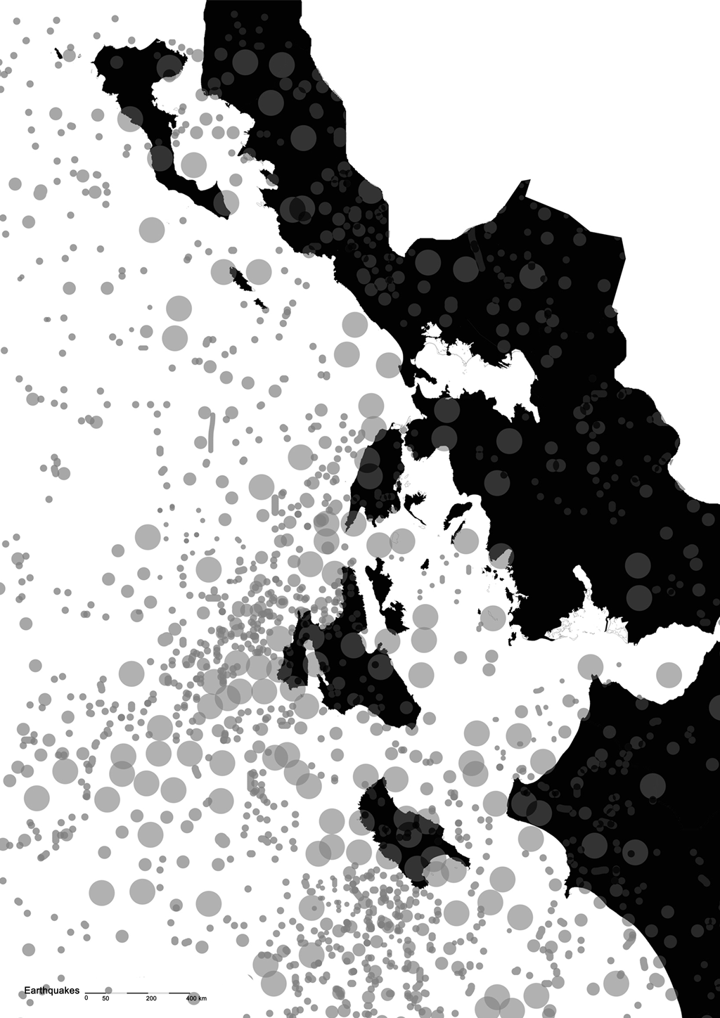
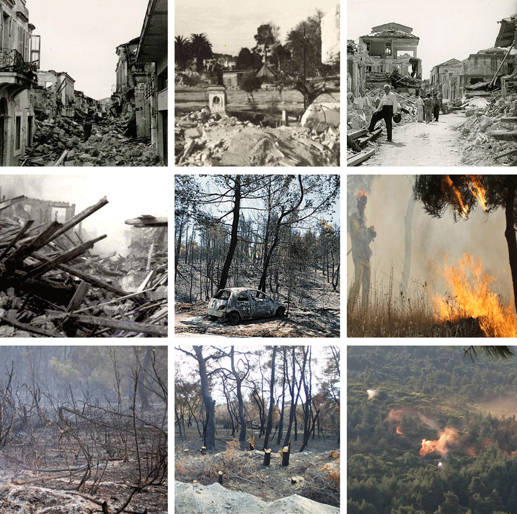
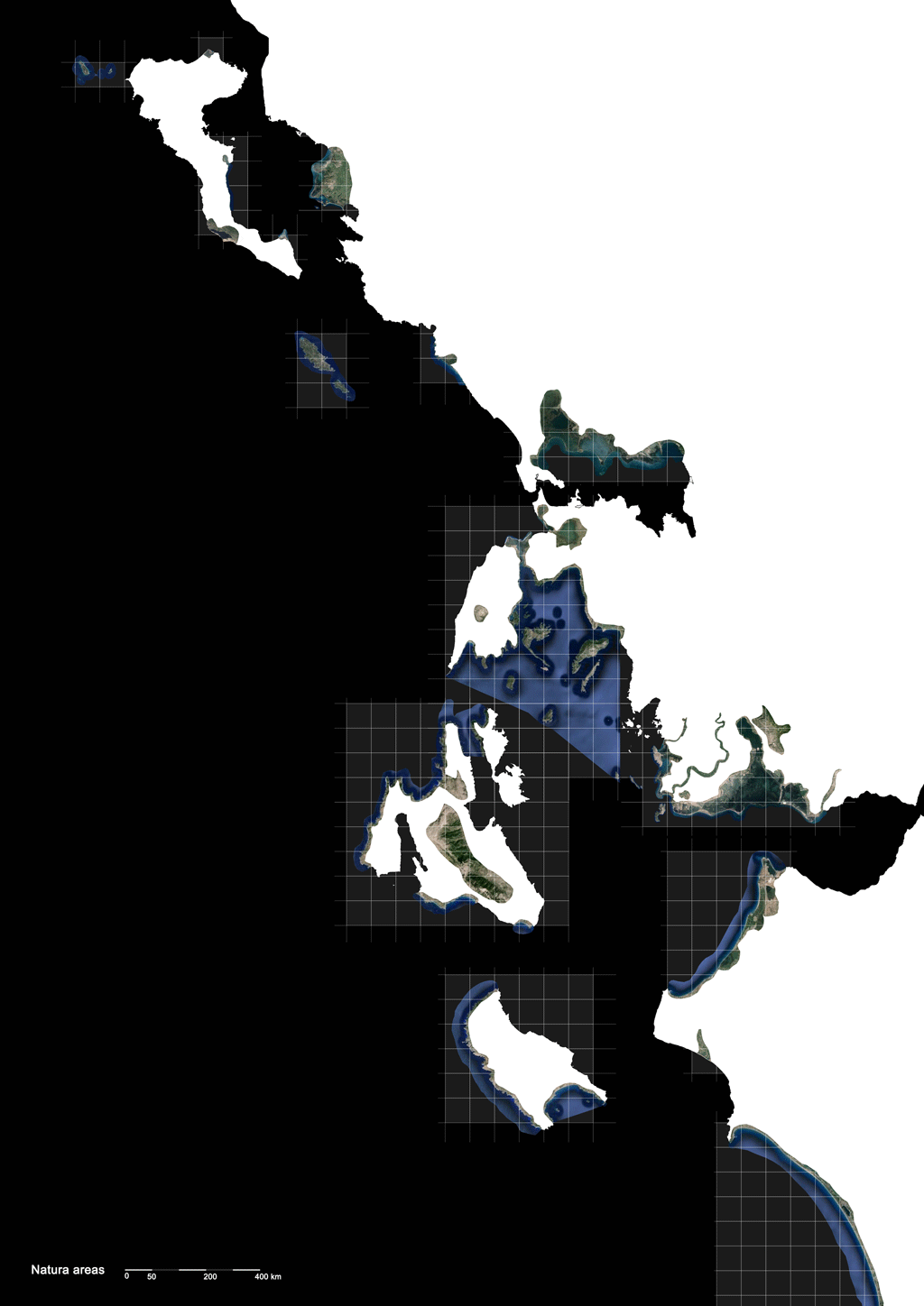
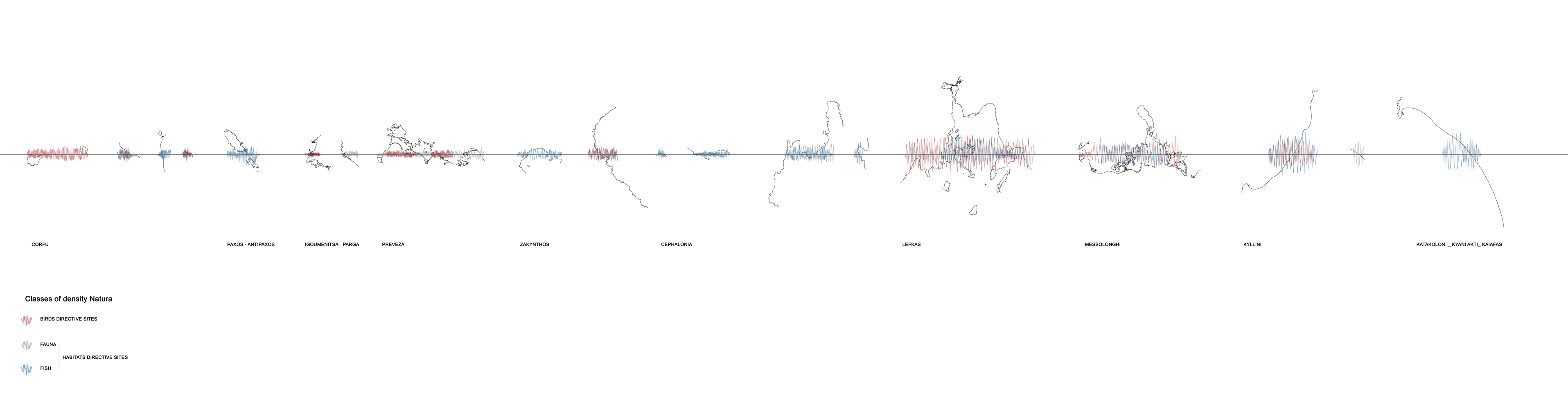
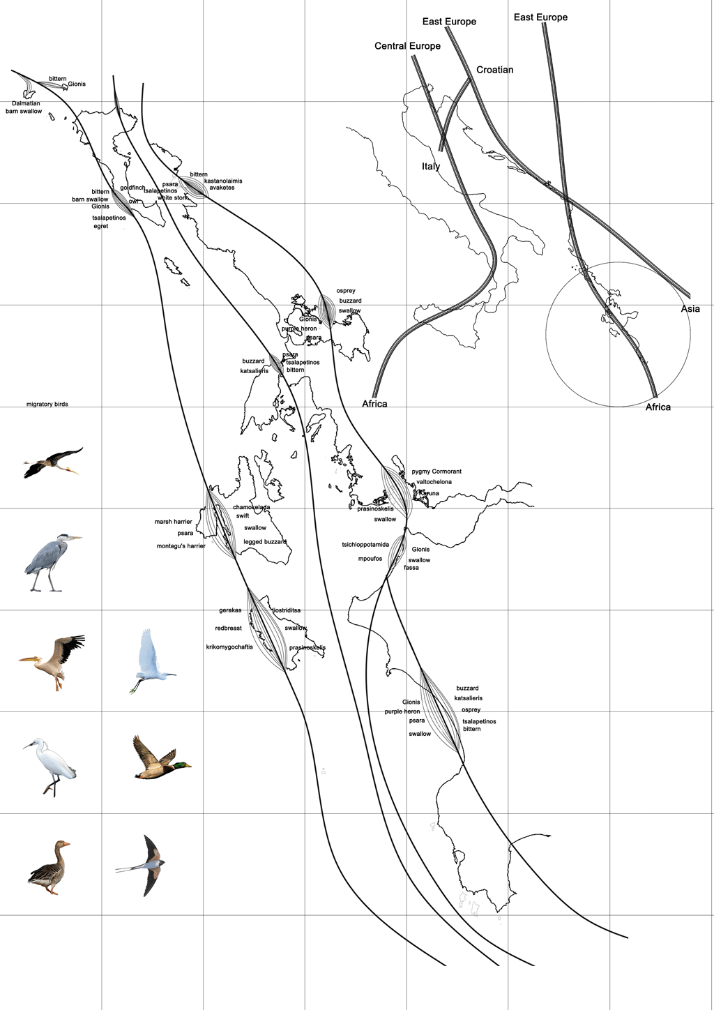
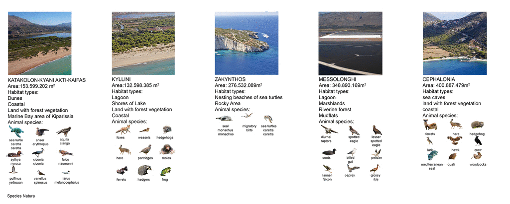
The design research began with a mapping investigation of the historical and cultural evolution of the region through etchings, nautical and historical maps. With the use of critically distilled GIS material, the land topography and bathymetry of the area as well as its geographical and morphological characteristics were identified, recorded and assessed. Similarly, the infrastructural networks including sea, land and air connections. Moreover, the mapping of densities of settlements (formal and informal), archaeological sites, tourism infrastructures, textures and qualities of the Ionian coastline provided useful and quantifiable data, leading to the focus of the overall investigation: the Natura 2000 network. The Ionian sites listed under the Natura 2000 directory were in turn mapped and analysed, not only in terms of their ecological importance and morphological aspects but also in terms of their potential connectivity in a new intra-regional network.
From Natural reserves to Networked Ecologies